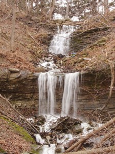
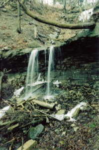
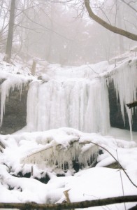
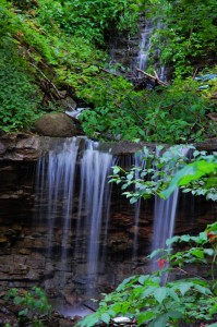
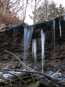
Glover’s Falls is located on a tributary of the Davis Creek.
Its flow is strongest during seasonal storms and after the winter snow melt. It is considered a Complex Ribbon Cascade.
It is difficult to measure this waterfall as there are cascade sections both above and below the vertical drop section and it becomes a judgment call as to how much of the cascades are to be included.
Glover’s Falls is 8 metres (26 feet) high and its crest width is 3 metres (10 feet).
History
Glover’s Falls was first located from the website of Mark Harris in 2002.
How to get there
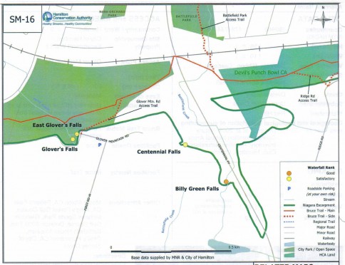
Park on Greenhill Avenue in front of the water treatment plant. Follow the trail beside the plant that leads up the escarpment. After going a short distance, you will see a large fenced concrete intake structure which takes the water from both East Glover’s Falls and Glover’s Falls. Cross over to the right side of this ravine and structure and go up. At the top of the ravine you can see Glover’s Falls.
Glover’s Falls Photo Gallery
